Trail Conditions
We will try to post significant trail issues here but for more up to date info please check out our facebook page ( Button Below ) or click the Current Conditions button for a redirect to Durango Trails website. They have our major local trails on their website as well as tons of trails in Southern CO. You can select Farmington on the Left to find our local trails.
Help us keep the trail conditions up to date by reporting the current conditions by clicking on the Report Conditions button for a redirect to Durango Trails website. First select either Condition or Issue that you want to report. Next select Farmington for the Trail System name then select the trail or trails you want to report on. You can select more than one. Last, select the condition and leave any comments. Thanks in advance for your help keeping the current conditions up to date!
Report a Condition
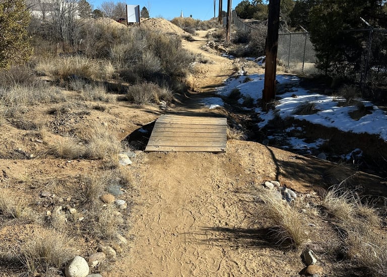
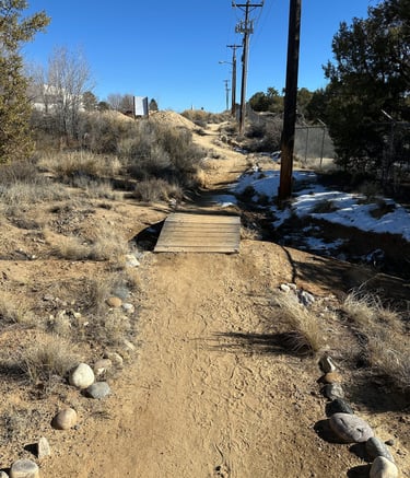
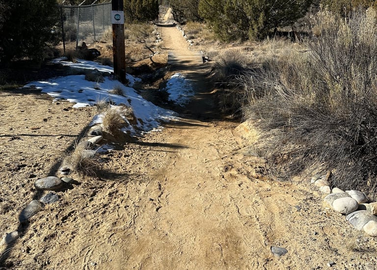
San Juan College Projects 2025
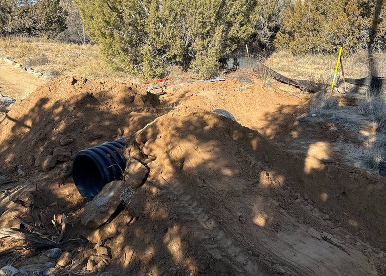
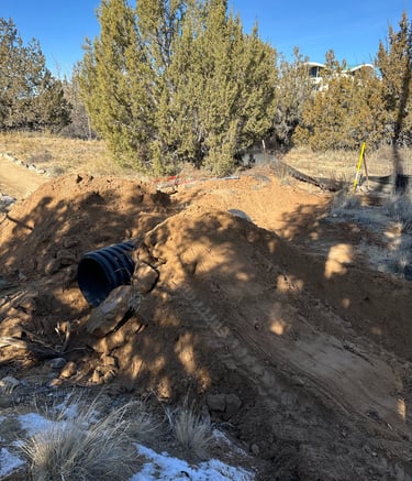
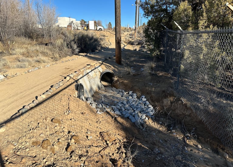
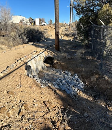
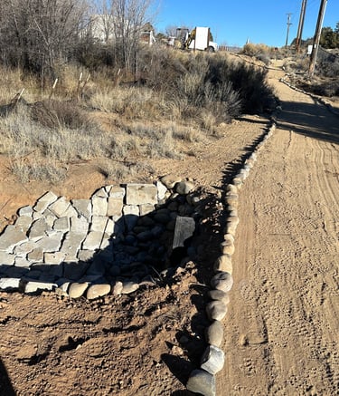
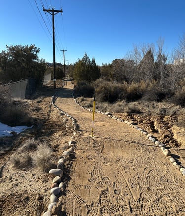
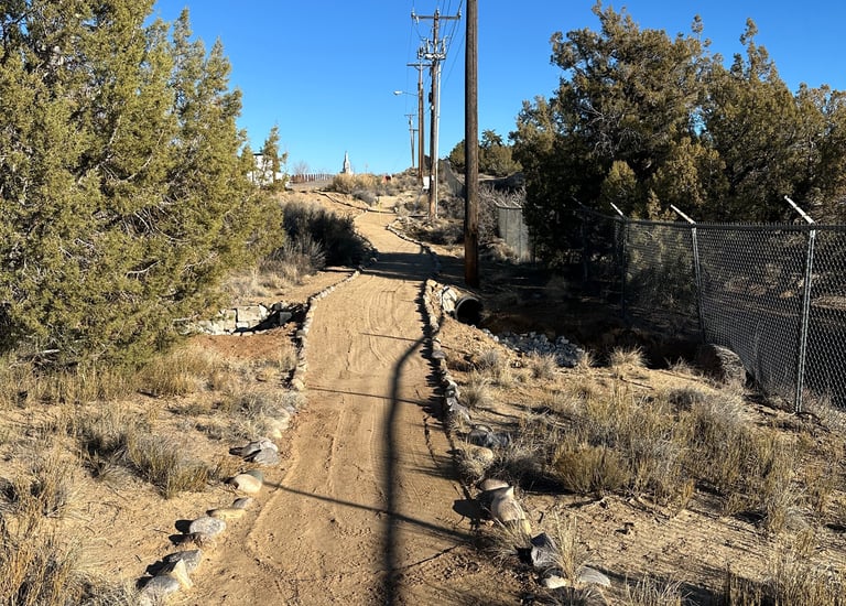
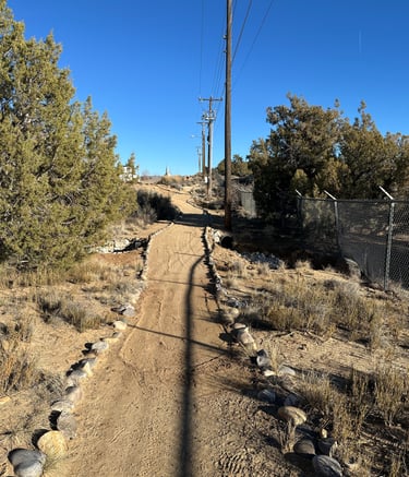
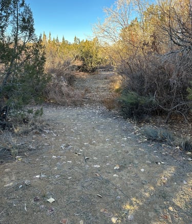
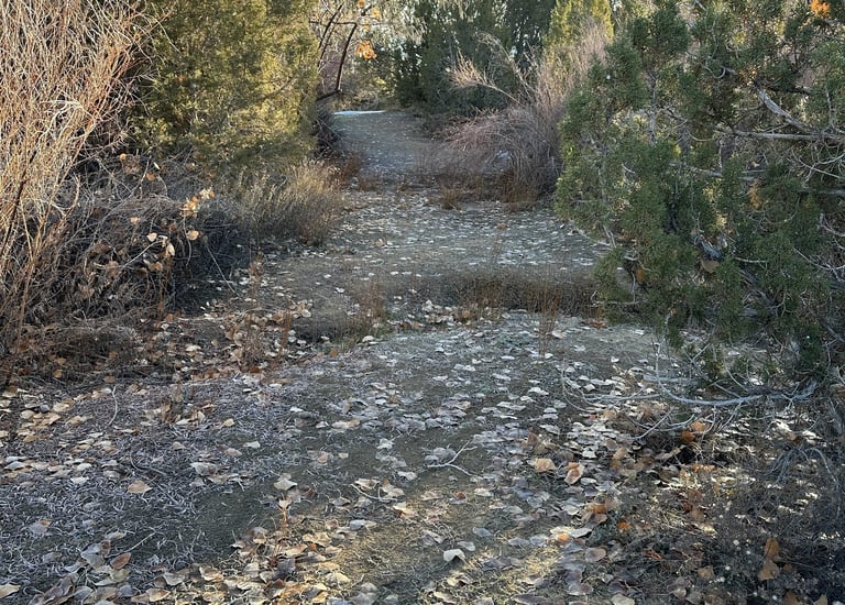
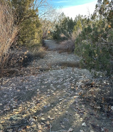
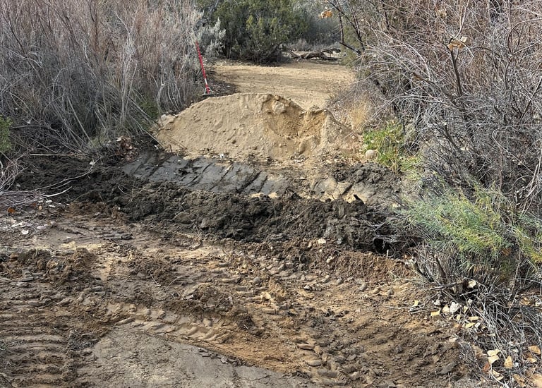
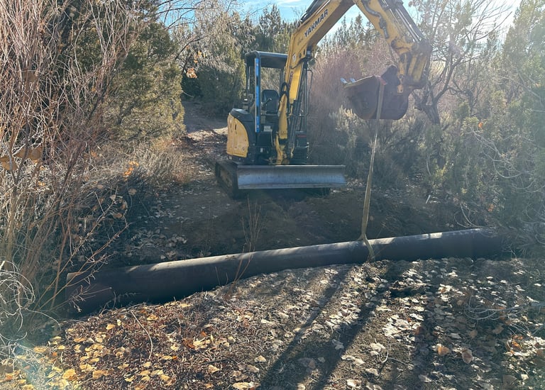
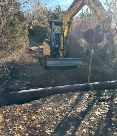
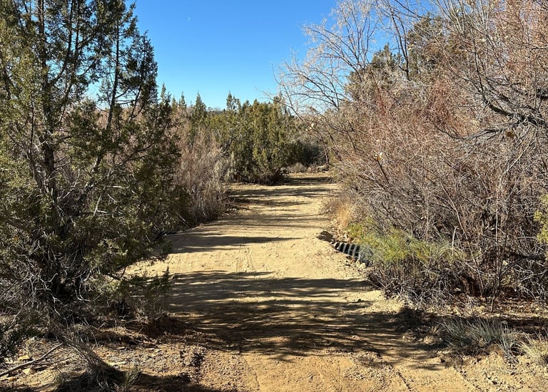
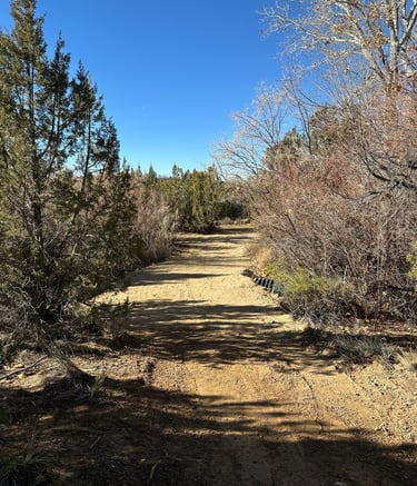
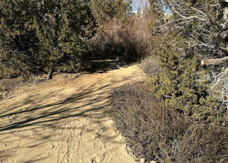
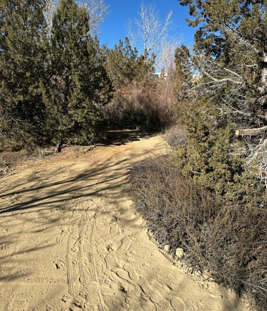
Recent Culvert Installations We removed a failing bridge and installed culverts where it was washing out.


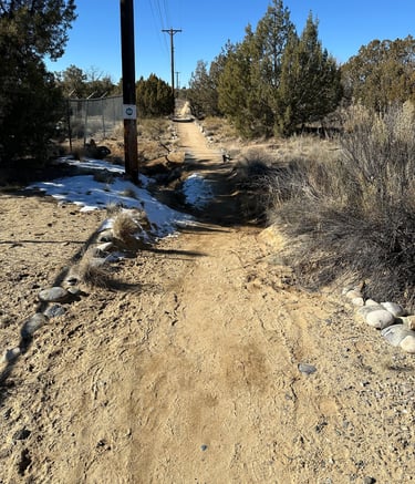
Before
Before
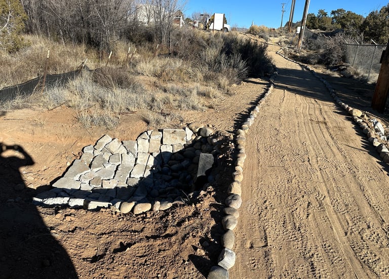
After
After
During
During
After
After
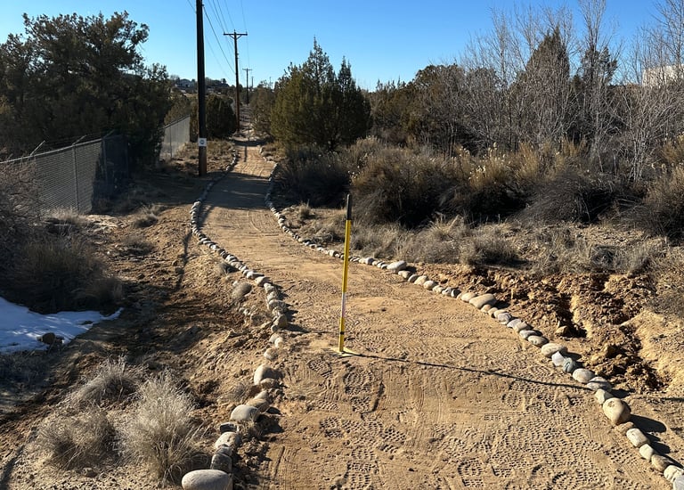
Here is another new section of trail that got a couple of culverts

Before
Before
During
During
After
After
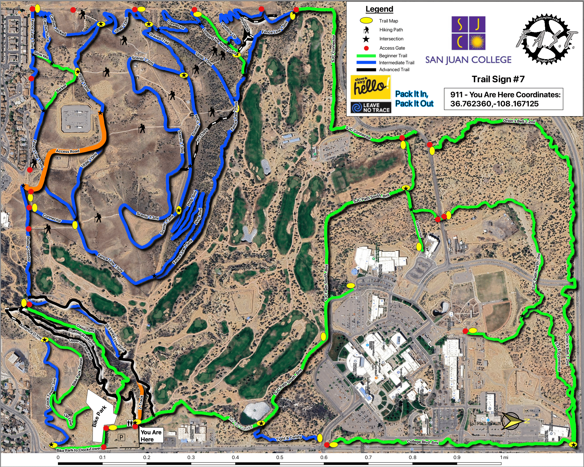
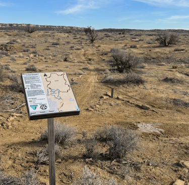
San Juan College Trail Maps
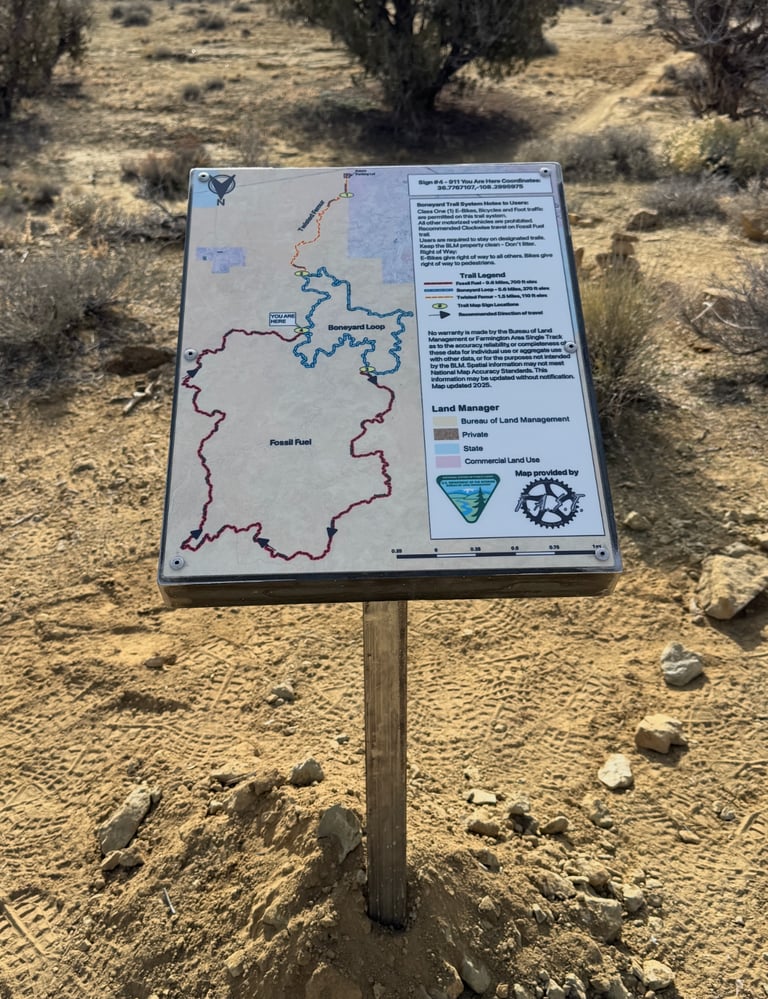
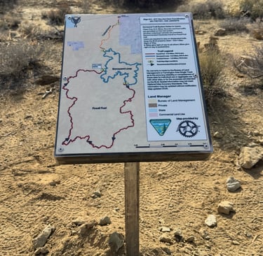
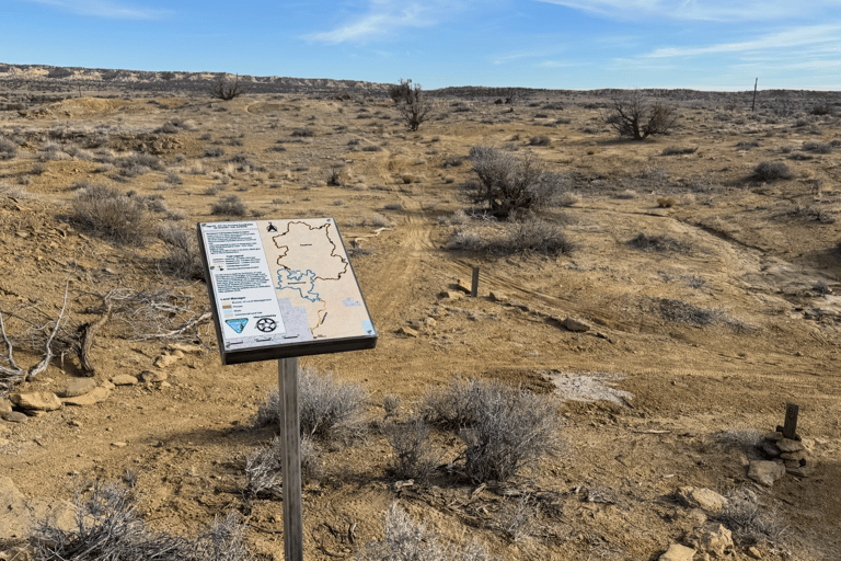
FAST has partnered with San Juan College and has provided 31 trail maps throughout the trail system to help users understand where they are at most of the primary itersections. Thanks to all who have supported this effort both financially and through donating time and materials.
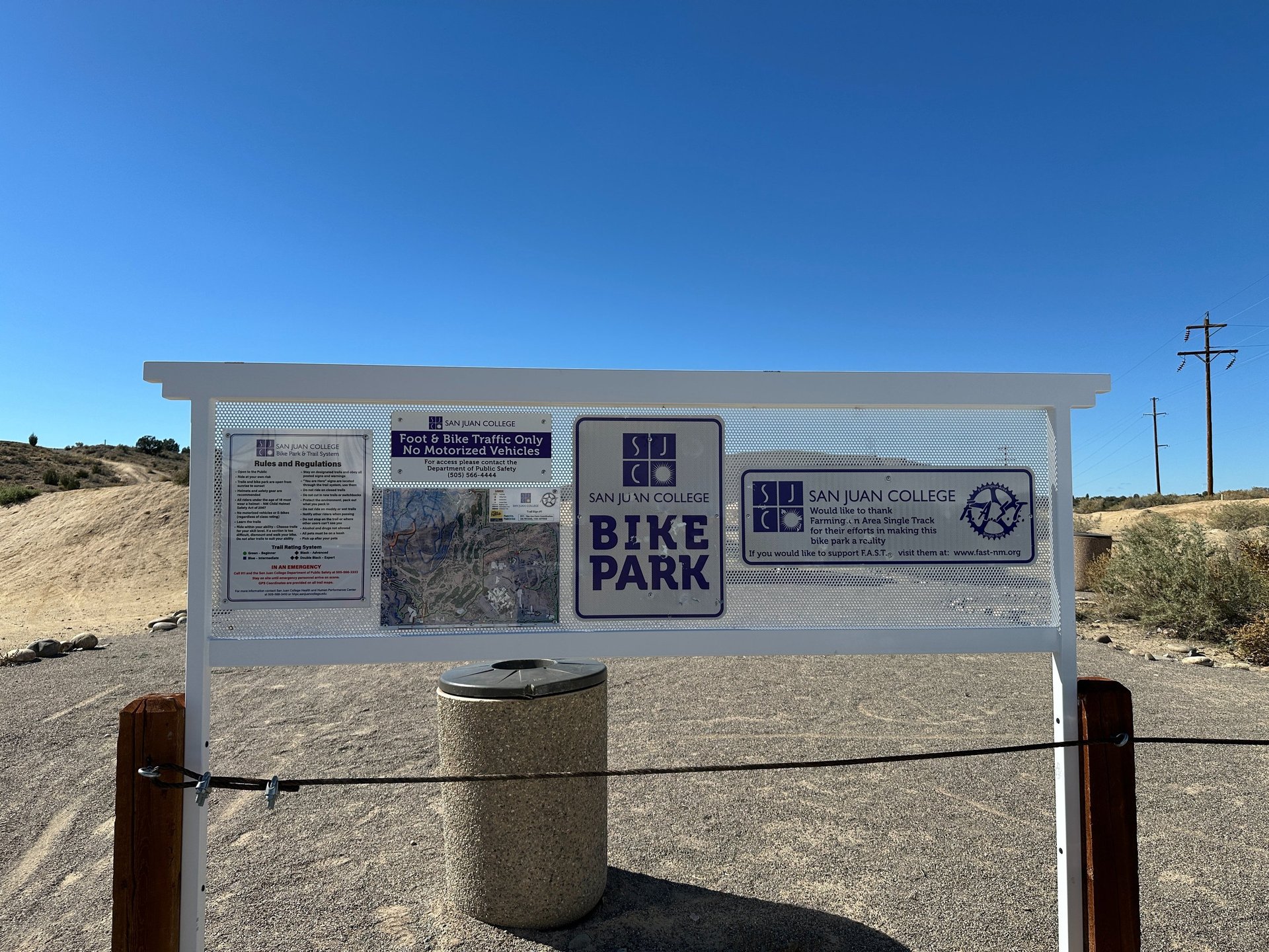
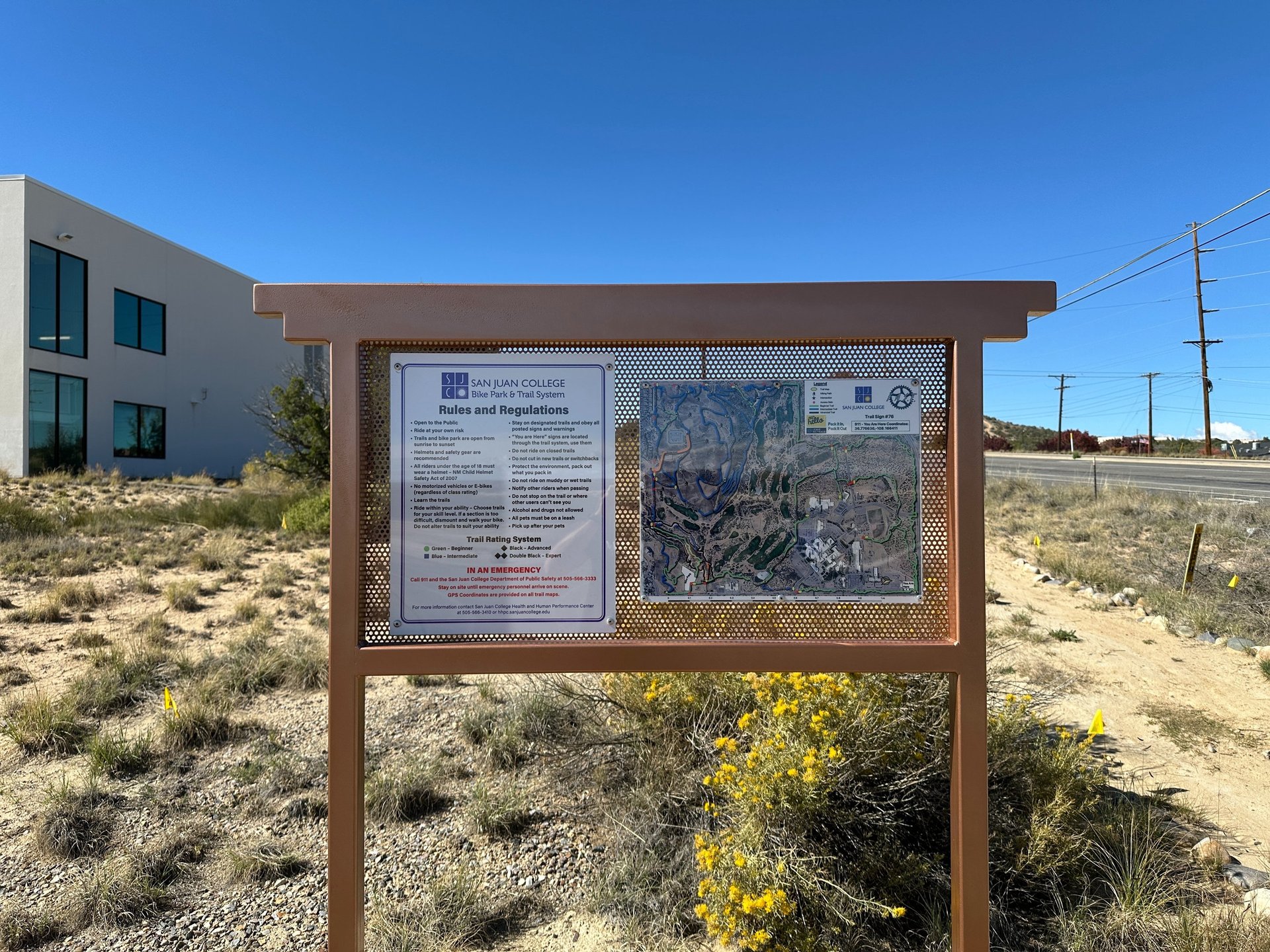
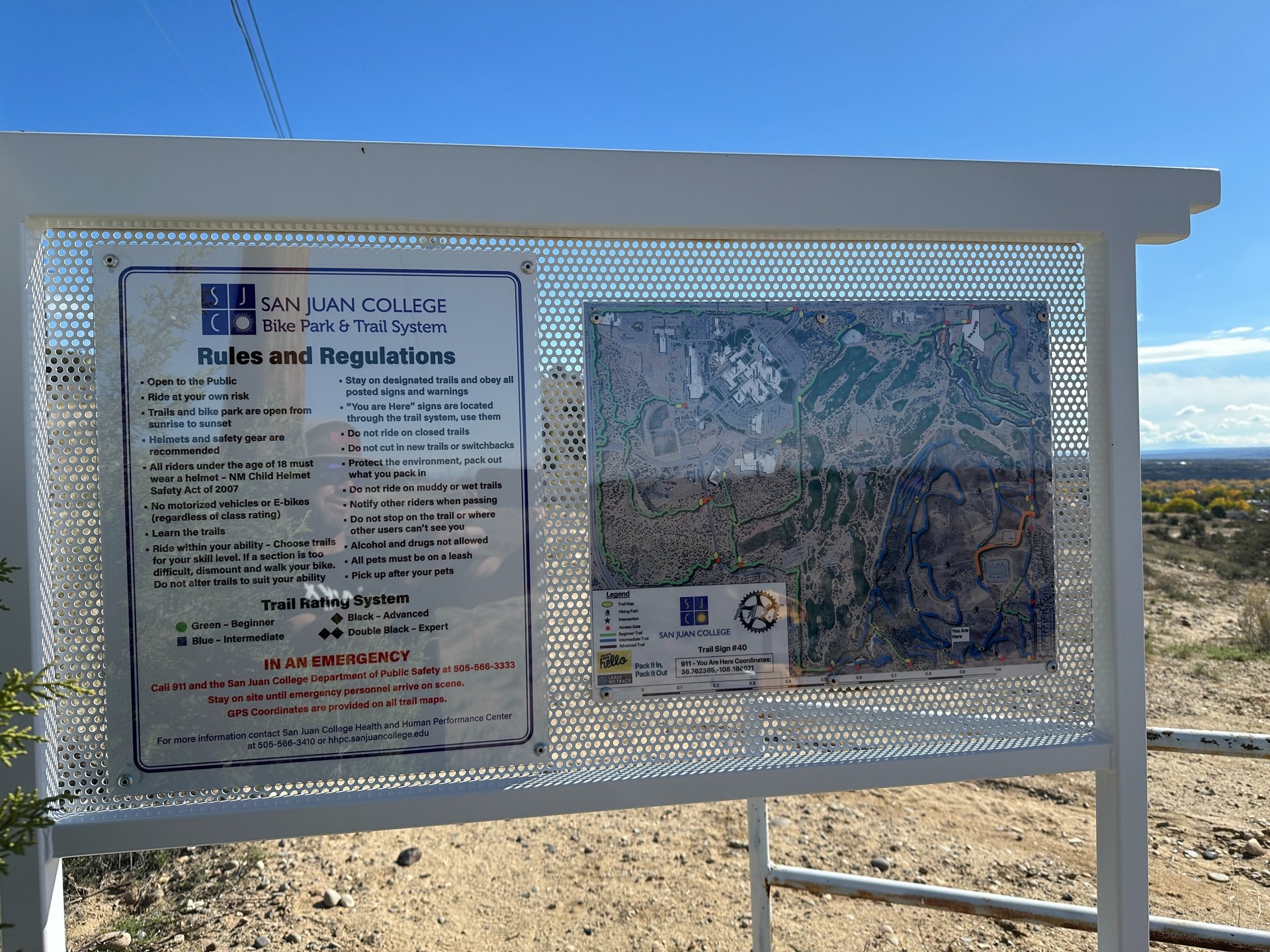
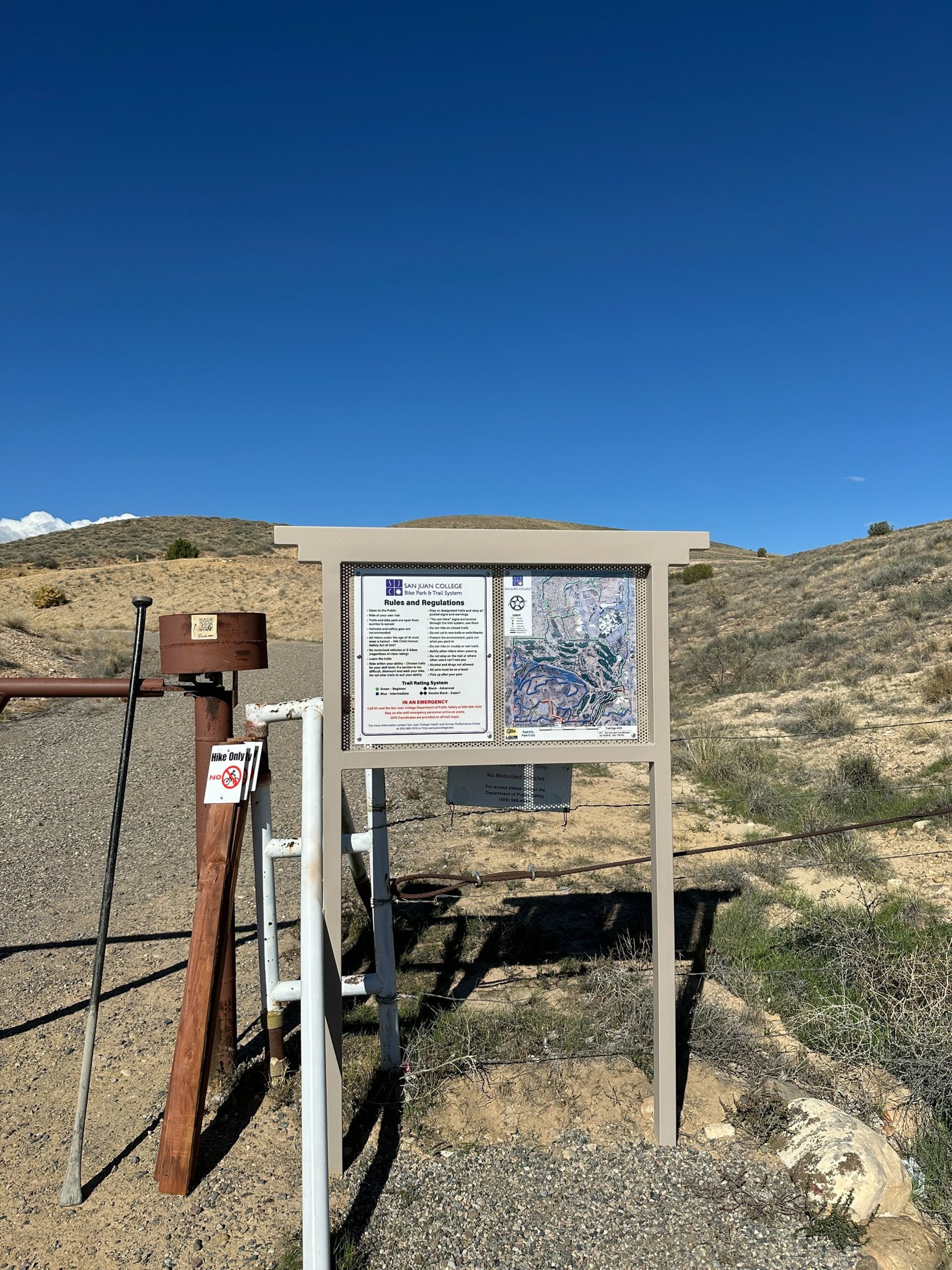
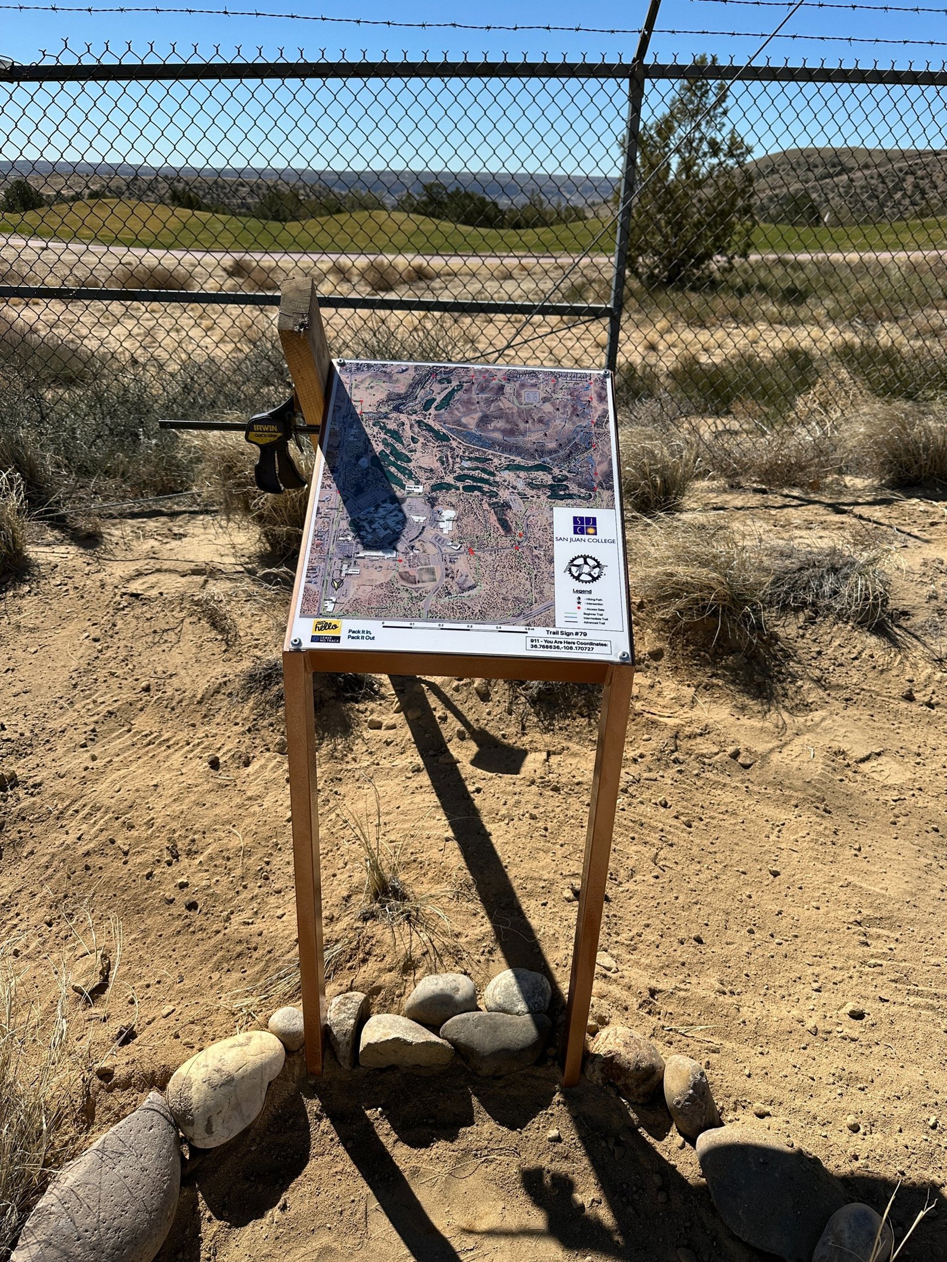
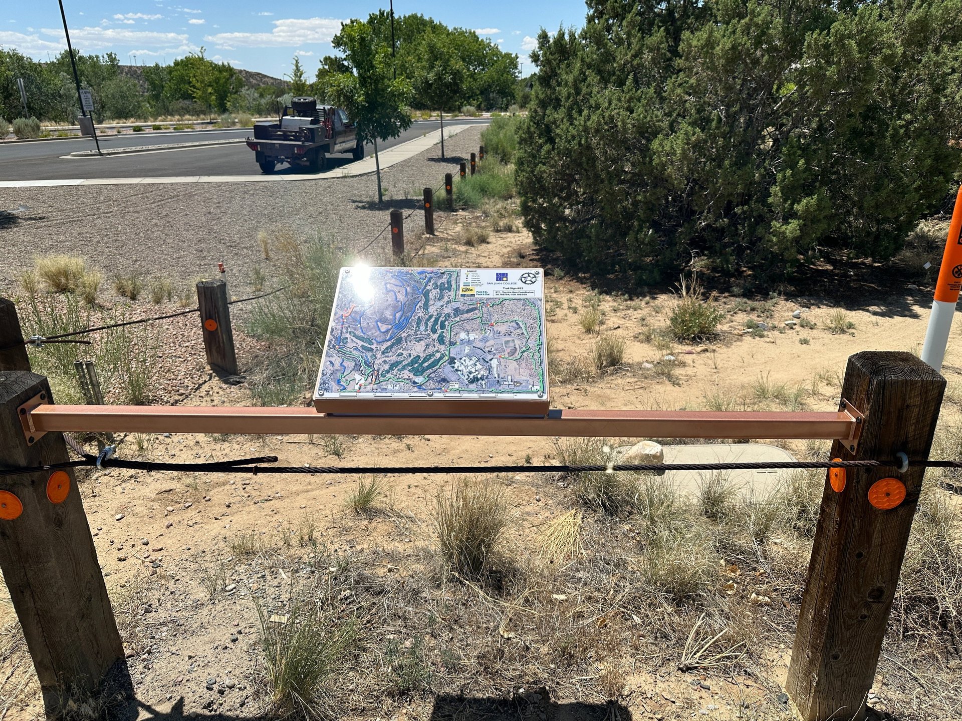
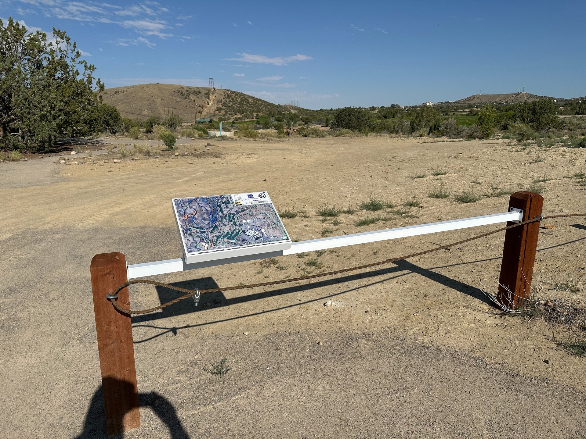
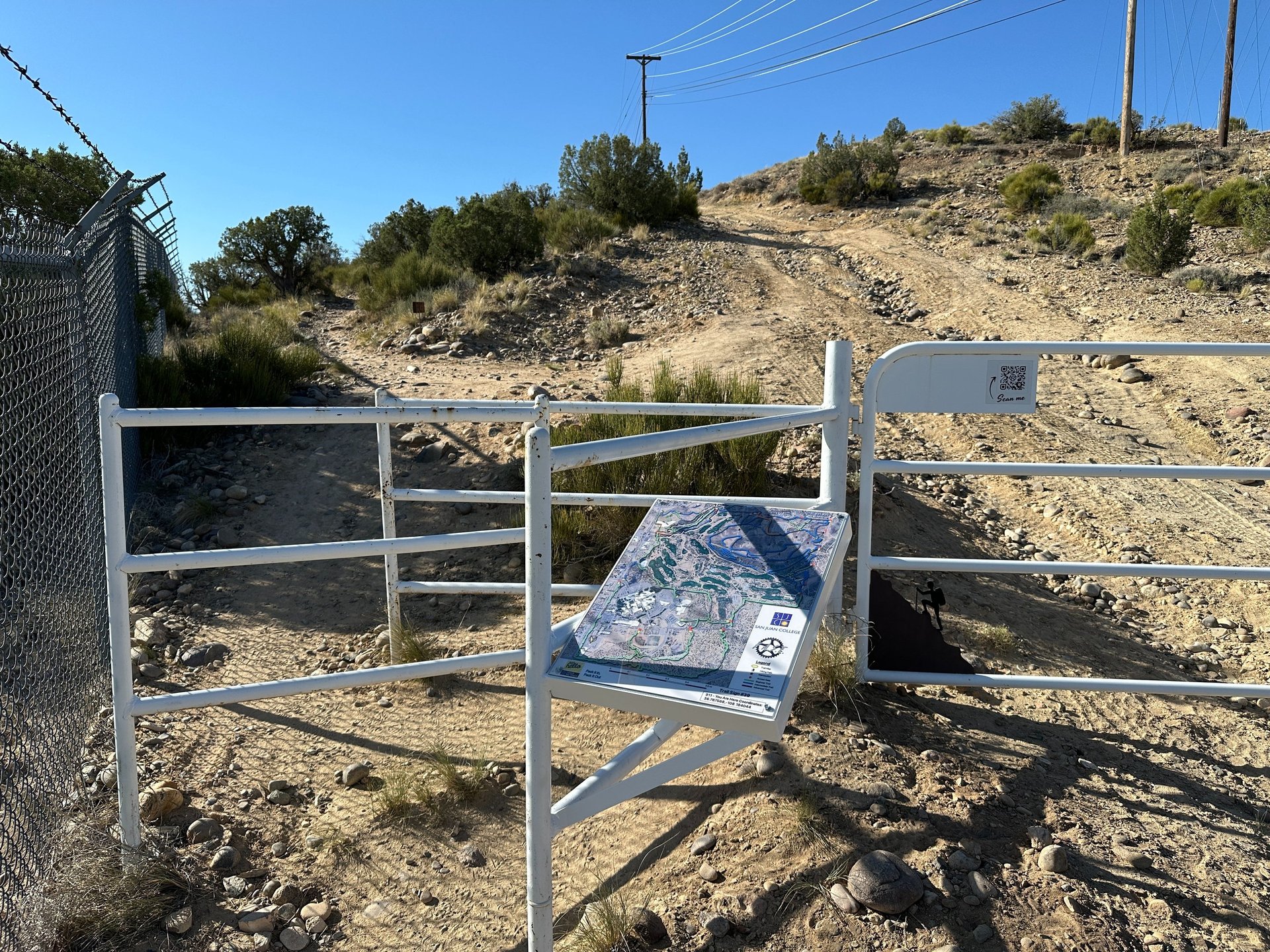
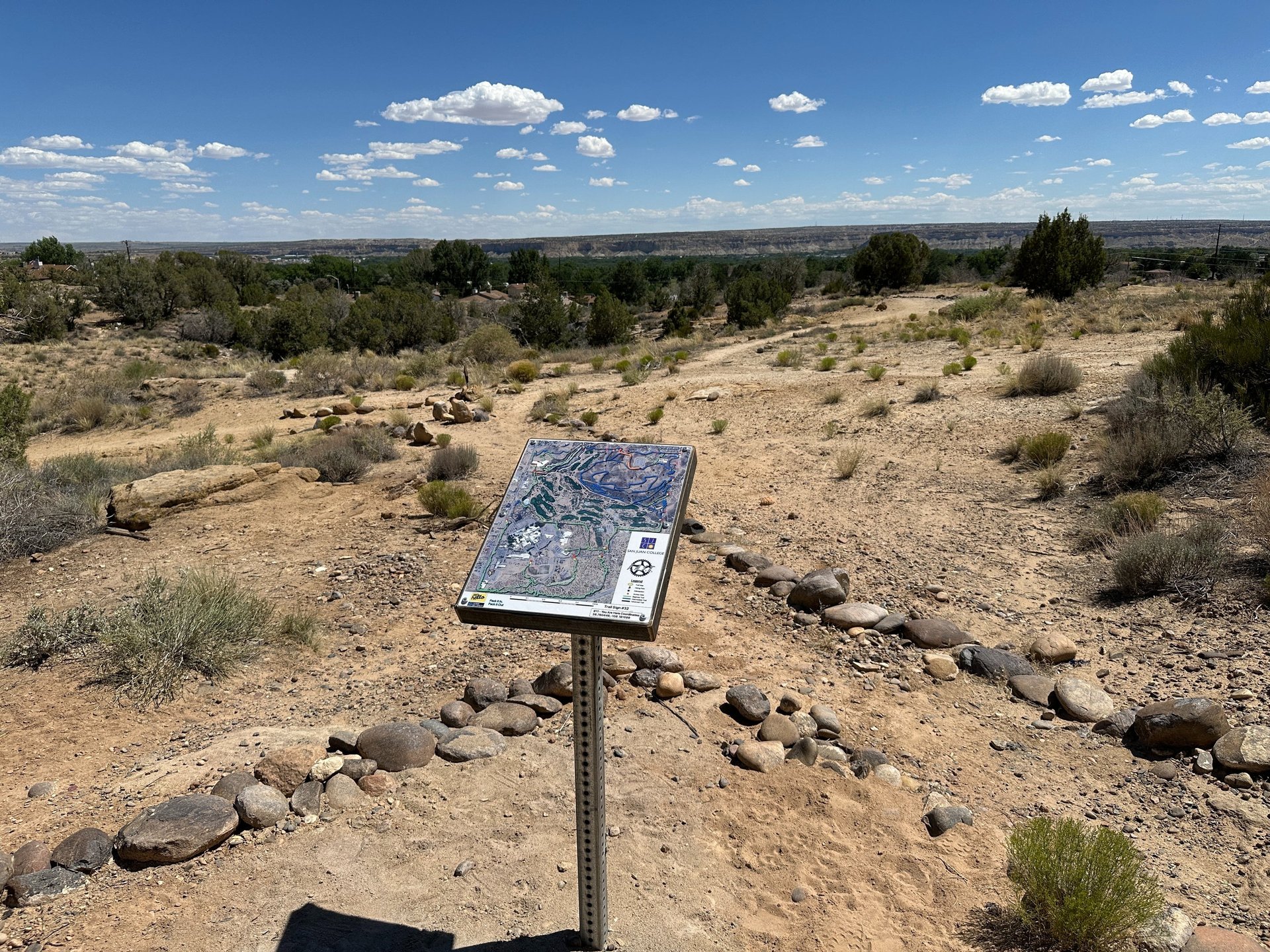
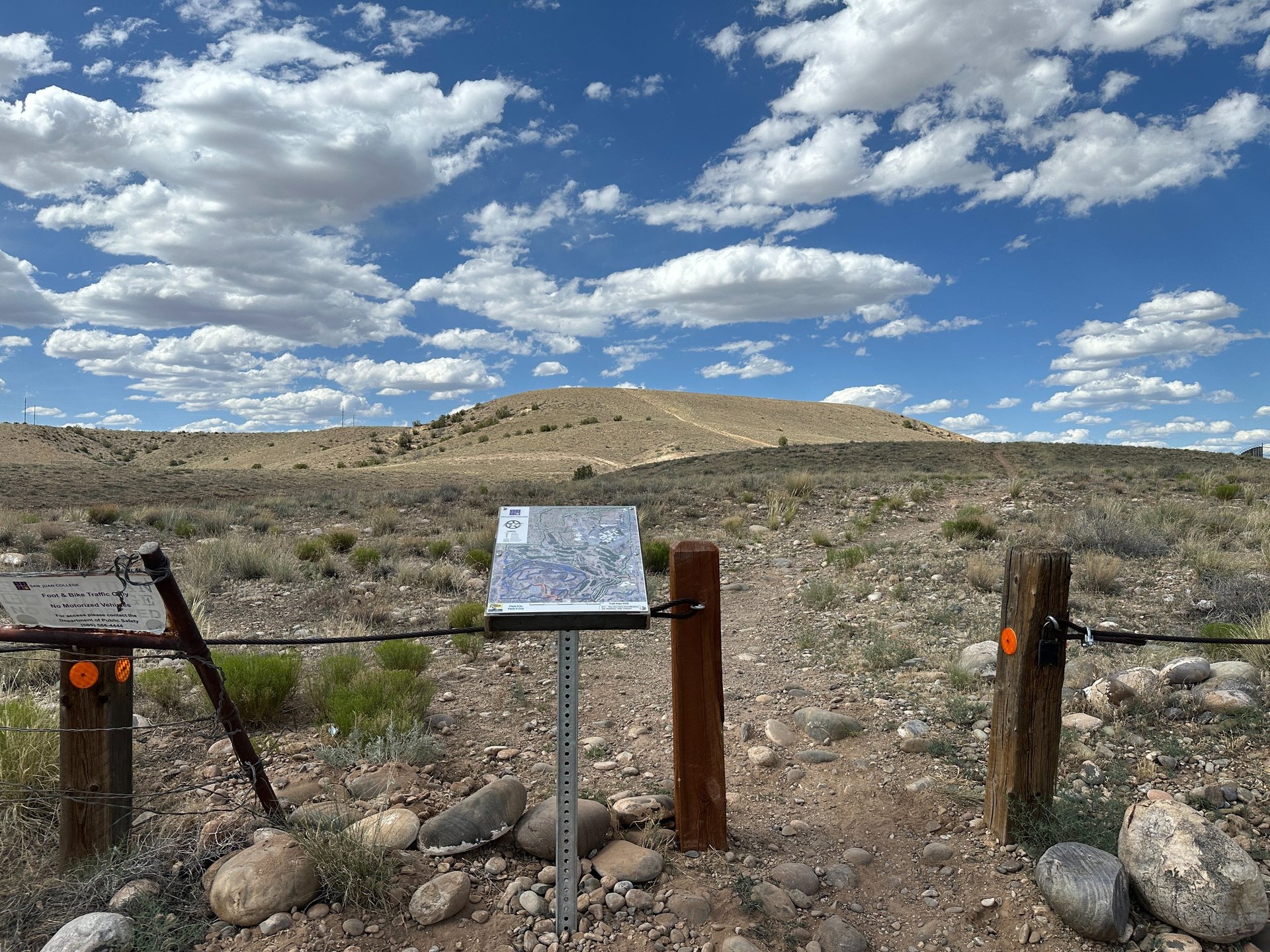
Below is a sample of one of the trail maps. It depicts the trail map sign location with a You Are Here indicator as well as a 911: GPS coordinate for the trail map so that riders can relay their location more easily in the event of an emergency.

AVENZA Maps


Current Trail Projects
BLM Approved the "Boneyard" Trail System!
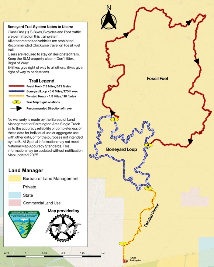
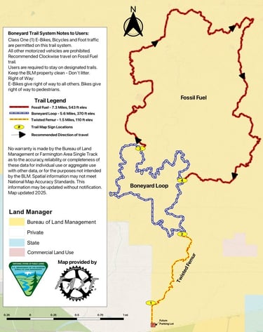
The BLM Farmington office has completed the EA study and has approved the Boneyard Trail System! FAST has finished building a new connector trail called "Twisted Femur". We've also worked to get the rest of the trails back in good condition after being closed for two years.".
Four trail maps have been installed at major trail intersections. Once the BLM installs the new parking lot on the east side of the fence, a new trailhead map will be located there.
We have installed 25 carsonites trail markers on the trail system to help riders navigate.
Come check out the new Boneyard trail system! Please stay on the designated open trails. Some parts of the original trail system have been permanently closed so check out the trail map below for the new routes. Note: right after you cross the 1st cattle guard on your way out from the parking lot, you will see a temporary sign to your left and then on the right indicating the direction to get to the Boneyard trail. Follow that two track to the right for about 1/10 of a mile to the new trailhead.
NOTE: The PDF below represents the georeference PDF that can be downloaded free of charge from the AVENZA app on your phone to see your location in realtime. You can load the free AVEZA app first on your phone then scan the QR code on our Trail Maps page.
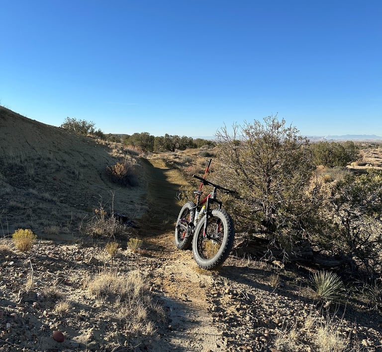
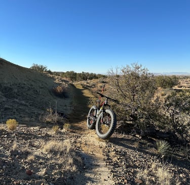
Twisted Femur Construction
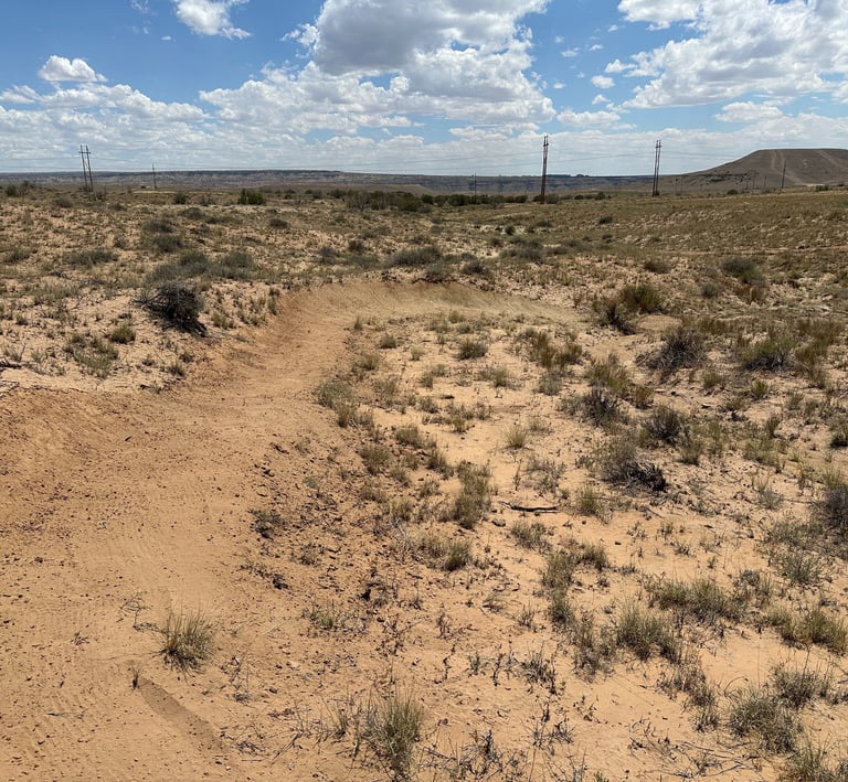
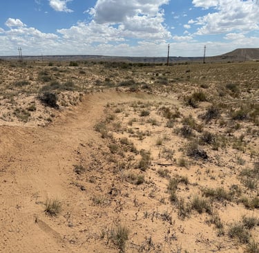
Fossil Fuel rehab
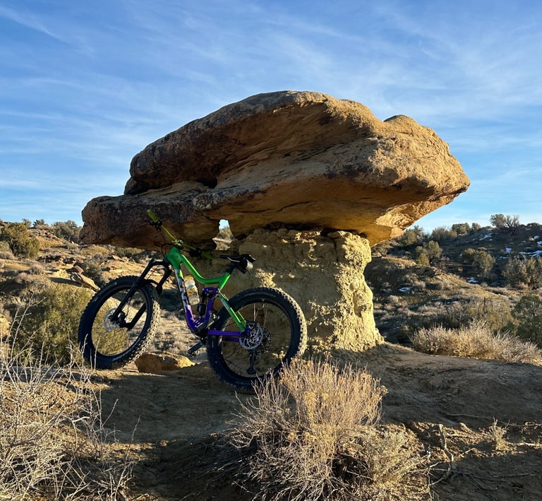
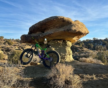
Hoodo on Fossil Fuel
Boneyard Trail System Maps
Click the button below to check out a great article about the boneyard written by www.singletracks.com
Report Trail Issues
Please report any trail damage, wash outs, or problem areas here and we will do our best to address them
Phone
505-793-5233
fastnmusa@gmail.com